0007 FAIRWAY DRIVE
Owner Information
DOCOUTO ARMANDO M & AURORA P
7 FAIRWAY DRIVE
ACUSHNET, MA 02743


Property Details
0007 FAIRWAY DRIVE is classified as a Single Family Residential (Split ent).
The primary structure on this property was built in 1990. There are 4,520ft2 of built area within this property. There is 4,520ft2 of residential/living space within this property. This property is listed as having 7 rooms.
0007 FAIRWAY DRIVE is valued at $484,300. The land is valued at $122,100 and the structures are valued at $354,800. There is an additional valuation of $7,400 on this property.
The most recent deed for 0007 FAIRWAY DRIVE is recorded at the local registrar in Book LR 84, Page 47. 0007 FAIRWAY DRIVE was last sold on Monday, January 4, 1988 for $70,000.
Assessment data from fiscal year 2021.
Flood Data
According to the FEMA National Flood Hazard Layer, this property does not appear to be in a flood zone. It may also be in an area not yet reviewed. Nonetheless, confirm this information prior to taking any action.
To view the flood hazards around this property, create a FEMA "Firmette" Map of the area around 0007 FAIRWAY DRIVE.
Broadband Internet Providers
| Provider | Type | Bandwidth (mbps) | |
|---|---|---|---|
| Verizon New England Inc. | DSL | 5 | 0 |
| VSAT Systems, LLC. | Satellite | 2 | 1 |
| HughesNet | Satellite | 25 | 3 |
| GCI Communication Corp. | Satellite | 0 | 0 |
| Comcast | Cable | 1000 | 35 |
| Viasat Inc | Satellite | 100 | 3 |
Broadband service provider data from December 2020.
Adjacent Properties
- 0005 FAIRWAY DRIVE
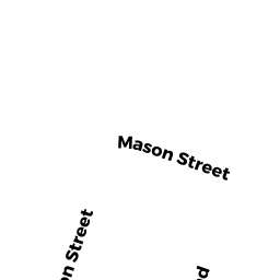
Single Family Residential owned by FLYNN RICHARD J - 0009 MASON STREET
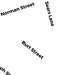
Single Family Residential owned by PEREIRA PETER - 0008 SEARS LANE
Single Family Residential owned by CAMARA LAURINDA F. - 0010 SEARS LANE
Single Family Residential owned by THE JOAN M MEDEIROS REVOCABLE TRUST - 0009 FAIRWAY DRIVE
Single Family Residential owned by DAPONTE EDUARDA C LIFE ESTATE